From our collective experience in using and teaching GIS and remote sensing for agricultural sciences, landscape design, urban forestry, geology, and Extension services, we have prepared a list of guidelines that may be helpful when considering or implementing spatial technologies for your program.
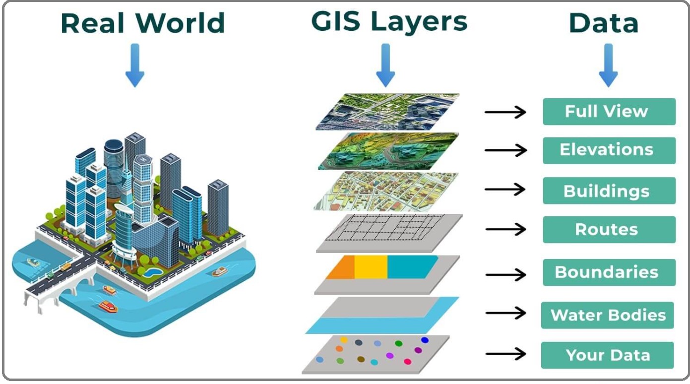
A geographic information system (GIS) is a computer-based tool for mapping and analyzing feature events on earth. GIS technology integrates common database operations, such as query and statistical analysis, with maps. GIS manages location-based information and provides tools for display and analysis of various statistics, including population characteristics, economic development opportunities, and vegetation types. GIS allows you to link databases and maps to create dynamic displays
Why GIS for your Business
It’s about using your whole brain to approach a problem.Plotting business data to a map can give a company a broad view of a problem by putting it in context. But GIS tools also offer the ability to analyze several layers of data and develop a deeper understanding of the issue. “The end user … can start in that very sort of triage manner to understand the problem: Drill as far as they can in the map, and then launch into the capabilities, the details, the data that can come from enterprise-wide data sources throughout the organization.